
DEPTH RATING
—
ENDURANCE
—
SPEED
—
WEIGHT
Web and on-prem
PAYLOAD
Planner, fleet view, change detection
— OVERVIEW
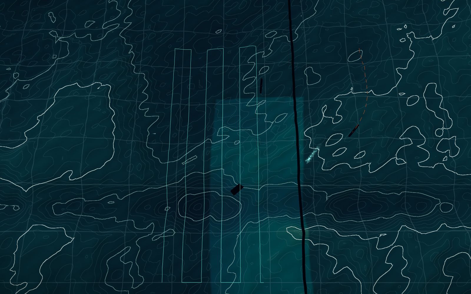
Mission planning, live fleet tracking and change detection in one web app. Plans lanes, shares a map between vehicles and flags what changed since the last pass.
Tidewire is where missions start and reports land. Draw the area, pick the deliverables, and it plans the lanes around currents, traffic and battery.
During a dive it shows every vehicle’s position and coverage, and after the dive it compares the new survey with the last one and lists what changed.
— WHY IT WORKS
Three details that matter at depth.
01
Plans around the sea
Uses tide and current models to order lanes and set turn points.
02
Live fleet view
Positions over acoustic modem and Iridium, coverage as it happens.
03
Change detection
Aligns each pass with the previous survey and flags new events.
DELIVERABLES
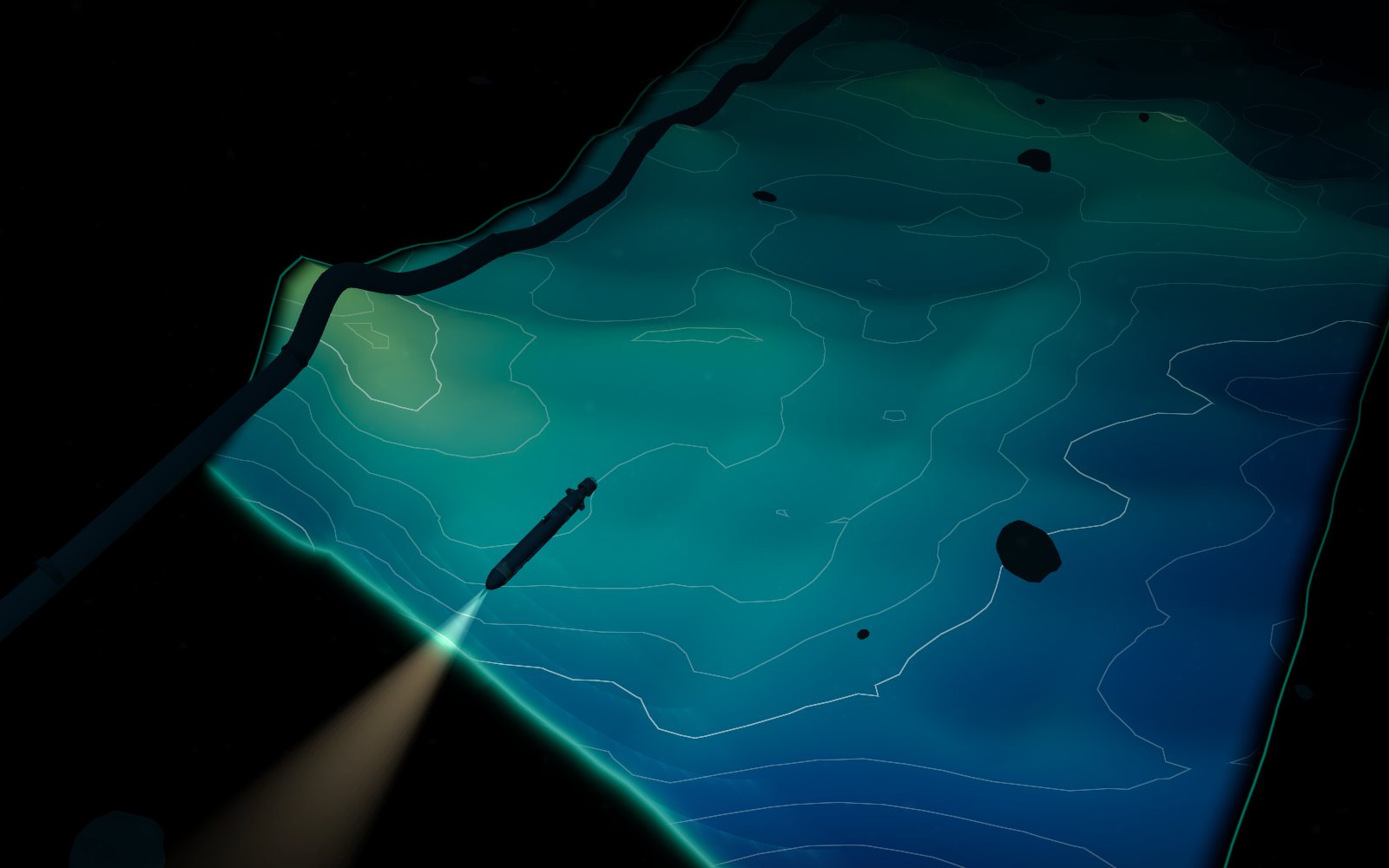
What lands in your inbox after a dive.
| ID | Event | Size | Severity | Position |
|---|---|---|---|---|
| E-041 | Free span | 6.4 m × 0.9 m | High | KP 12.310 |
| E-042 | Gas seep | Plume 11 m | High | KP 12.884 |
| E-043 | Debris | Container 6 m | Medium | KP 13.052 |
| E-044 | Coating damage | 0.3 m² | Medium | KP 13.410 |
| E-045 | Burial < 0.5 m | 38 m length | Low | KP 14.002 |
— THE REST OF THE FLEET
Works with


NEXT DIVE
Put this vehicle on your site.
Send the site, the depth and what you need to see. A survey planner replies within one working day with a lane plan and a fixed price.